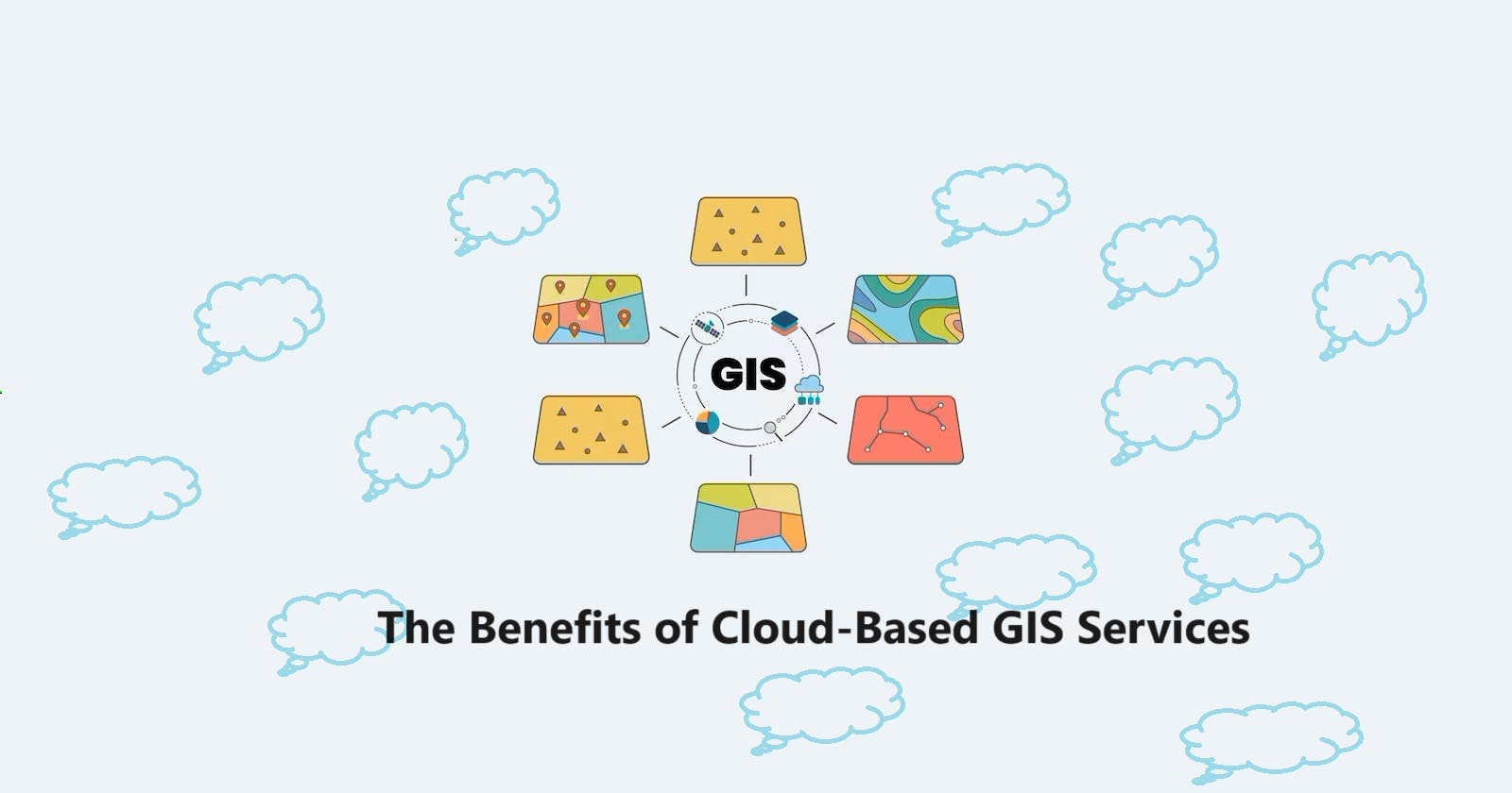


In today's rapidly changing digital landscape, geographic information systems (GIS) have become an indispensable tool for organizations across industries. Traditional GIS systems, with their hardware and as well as software requirements, can be resource-intensive and may not fully harness the actual potential of geospatial data. Now, this is where cloud-based GIS services come into play, offering more reliable, flexible, accessible, scalable and robust solutions. Let’s first deep dive into all the possible benefits of adopting cloud-based GIS services.
1. Accessibility and Collaboration
One of the foremost benefits of cloud-based GIS services is its accessibility. Users can easily access GIS data and applications from anywhere with an internet connection, eliminating the need for on-site infrastructure. This accessibility fosters collaboration among team members, whether they are in the same office space or spread across the globe. Real-time data sharing and collaborative mapping have become effortless, leading to improved decision-making processes as well.
2. Cost-Effectiveness
As we all know the traditional GIS setups often require significant upfront investments in hardware and software licenses. For cloud-based GIS services, on the other hand, operate on a subscription-based model. This means organizations can avoid large initial capital expenditures and can pay only for the resources they use, making GIS more cost-effective and accessible.
3. Scalability
In terms of scalability, cloud-based GIS services are highly scalable, allowing organizations to adapt to changing requirements effortlessly. Whether you're dealing with increased data volumes, user expansion, or any additional functionality, cloud services can quickly scale up or down, ensuring that your GIS system always meets all your requirements.
4. Data Security and Backup
Cloud providers prioritize data security, employing advanced encryption and security protocols. This often surpasses the security measures implemented by individual organizations. Additionally, cloud services regularly backup data, minimizing the risk of data loss due to hardware failures or disasters.
5. Reduced IT Burden
With cloud-based GIS services, the burden of maintaining and upgrading hardware and software is shifted to the service provider. This frees up IT resources within an organization to focus on more strategic initiatives rather than routine system maintenance.
6. Integration and Interoperability
Cloud-based GIS services are designed to integrate seamlessly with other cloud-based solutions, facilitating interoperability with various data sources and applications. This interoperability enhances the ability to extract insights from data and create comprehensive solutions.
7. Real-Time Analytics
Cloud-based GIS services often offer real-time analytics capabilities, allowing organizations to make data-driven decisions more swiftly. This is particularly valuable in sectors such as logistics, where route optimization and real-time tracking are critical.
8. Disaster Recovery and Business Continuity
Cloud services include robust disaster recovery options. In the event of a system failure or data loss, organizations can quickly recover their GIS data and applications, minimizing downtime and ensuring business continuity.
9. Environmental Sustainability
By utilizing cloud-based GIS services, organizations can reduce their carbon footprint. Cloud providers optimize resource allocation, reducing energy consumption and promoting sustainability.
10. Automatic Updates and Maintenance
Cloud-based GIS services automatically receive updates and maintenance from the service provider, ensuring that organizations always have access to the latest features, security patches, and improvements without the hassle of manual updates.
Here are some industries that benefit from cloud-based GIS services:
Cloud-based Geographic Information Systems (GIS) services have become increasingly popular across various industries due to their scalability, accessibility, and cost-efficiency. These services leverage the power of the cloud to provide geospatial data analysis, visualization, and management tools to organizations. Here are some industries that benefit from cloud-based GIS services:
Urban Planning and Development:
City Planning: Urban planners use cloud-based GIS services to analyze land use, infrastructure, and demographics to make informed decisions about city development and growth.
Zoning and Permitting: These services help streamline zoning and permitting processes, making it easier for government agencies to manage land use regulations.
Natural Resources Management:
Environmental Conservation: Organizations can monitor and protect natural resources by analyzing spatial data related to ecosystems, wildlife habitats, and biodiversity.
Forestry and Agriculture: Forestry and agriculture industries use GIS for precision farming, forest management, and land-use planning.
Transportation and Logistics:
Route Optimization: Companies can optimize delivery routes, reduce fuel consumption, and improve logistics efficiency using real-time GIS data.
Public Transportation: Public transit agencies use GIS for planning routes, schedules, and optimizing transit networks.
Utilities and Energy:
Utility Management: Electric, water, and gas utilities utilize GIS for asset management, infrastructure planning, and outage management.
Renewable Energy: GIS helps in site selection for renewable energy projects such as wind farms and solar installations.
Real Estate and Construction:
Site Selection: Real estate developers use GIS to identify suitable locations for new projects based on factors like demographics, accessibility, and market trends.
Construction Management: GIS aids in project planning, resource allocation, and site monitoring.
Healthcare:
Epidemiology: Public health agencies can use GIS to track disease outbreaks, study healthcare access, and plan for emergency response.
Hospital Location: Choosing optimal locations for healthcare facilities based on population density and accessibility.
Retail and Marketing:
Market Analysis: Retailers use GIS to analyze customer demographics, competitor locations, and sales data to make data-driven decisions about store locations and marketing strategies.
Location-Based Advertising: Targeted advertising and promotions based on a user's location.
Insurance:
Risk Assessment: Insurance companies employ GIS to assess and mitigate risks related to natural disasters, property values, and environmental factors.
Claims Management: Assessing damage and processing claims after events like floods or earthquakes using geospatial data.
Environmental Monitoring:
Climate Change: Monitoring and analyzing climate data, including temperature, precipitation, and sea levels, to understand and address climate change impacts.
Government and Public Services:
Emergency Response: Government agencies use GIS for disaster preparedness, response, and recovery efforts.
Census and Demographics: Conducting population censuses and demographic studies.
Here are some key future aspects to consider:
The future of cloud-based Geographic Information Systems (GIS) services holds several exciting possibilities and trends that will continue to shape how organizations utilize geospatial data. Here are some key future aspects to consider:
AI and Machine Learning Integration:
Expect increased integration of artificial intelligence (AI) and machine learning (ML) into cloud-based GIS services. AI algorithms will help automate processes like image recognition, data classification, and predictive modeling, enabling more efficient data analysis.
Real-Time Data Streaming:
Cloud-based GIS platforms will increasingly support real-time data streaming and analysis. This will be valuable for applications like monitoring traffic, weather conditions, and IoT devices in real time.
5G and Edge Computing:
The rollout of 5G networks and the adoption of edge computing will enable faster data transmission and processing, enhancing the capabilities of cloud-based GIS services for applications that require low latency, such as autonomous vehicles and augmented reality.
Augmented Reality (AR) and Virtual Reality (VR):
AR and VR technologies will be integrated with cloud-based GIS, allowing for immersive geospatial experiences. This will have applications in urban planning, tourism, education, and gaming.
Environmental Sustainability:
There will be a growing emphasis on using cloud-based GIS to address environmental and sustainability challenges, including tracking and mitigating the impacts of climate change, biodiversity conservation, and sustainable land use.
Blockchain Integration:
Blockchain technology has evolved rapidly in recent times and can also be integrated with cloud-based GIS to enhance data security, transparency, and traceability, especially for applications that cater to property records, supply chain management, and land tenure.
Cross-Platform Compatibility:
Cloud-based GIS services will continue to offer compatibility across various devices and platforms, making it much easier for any users to access and collaborate on geospatial data from smartphones, tablets, and desktops.
Customization and Scalability:
Cloud-based GIS platforms will surely provide more extensive customization options, allowing organizations to tailor their GIS applications to specific requirements. Scalability will always remain a key feature, enabling users to scale any resources up or down as per their requirements.
Data Integration and Interoperability:
Efforts to standardize geospatial data formats and improve interoperability between different GIS platforms will continue in the future, making it easier for any organization to combine data from various sources seamlessly.
Privacy and Ethical Concerns:
As we all know, once geospatial data becomes more accessible, there will be increased attention to privacy and ethical considerations, such as data anonymization, consent, and responsible data usage.
International Collaboration:
Climate change has now become an International issue. Organizations and governments are now more involved in harnessing the power of GIS services for which they now tend to increasingly collaborate on global GIS initiatives, sharing geospatial data and technology to address any sorts of global challenges like disaster response, climate change, and even public health.
Security and Data Protection:
As we all know the value of geospatial data grows, cybersecurity measures for protecting sensitive information will now become even more critical. Cloud-based GIS services will need to continually enhance all the possible security features to tackle any cyber threats.
Low-Code and No-Code Platforms:
The development of low-code and no-code GIS platforms will always empower non-technical users to create and deploy any GIS applications, further democratizing access to geospatial insights.
The future of cloud-based GIS services is very dynamic and evolving, driven by advances in technology, changing user requirements, and the increasing importance of geospatial data in decision-making across various industry sectors. Organizations that embrace these trends will be better positioned to harness the actual power of GIS for innovation and problem-solving.
Conclusion
Cloud-based GIS services basically represent a paradigm shift in the way organizations utilize geographic information systems. The ongoing demand for cloud-based Geographic Information Systems (GIS) services has been on the rise, driven by several advantages across various industries. They usually offer unparalleled accessibility, scalability, cost-effectiveness, and security while reducing all the possible IT burdens on organizations. As ever-changing technologies continue to evolve, embracing cloud-based GIS services is a strategic move that can really empower an organization to make more informed decisions and drive success in an increasingly location-aware world. Overall, as you can see, the market demand for GIS services is expected to continue growing as organizations across various sectors now recognize the value of geospatial data in making informed decisions, improving efficiency, and addressing the most complex challenges.